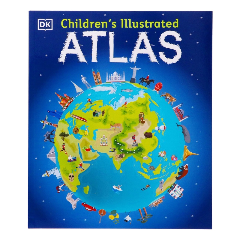
DK's Children's Illustrated Atlas brings geography to life; packed with more than 50 colourful maps for kids and fascinating facts about the countries of the world. Each map is bursting with information; such as climates; populations; famous sites; mountai
Flash Sale Ongoing
DK’s Children’s Illustrated Atlas brings geography to life; packed with more than 50 colourful maps for kids and fascinating facts about the countries of the world. Each map is bursting with information; such as climates; populations; famous sites; mountains and rivers; and natural wonders of the world. The atlas also includes a world map; with a political map for each continent. Through each map children are shown how to read a map and use a key; compass and scale. Charming and informative; the Children’s Illustrated Atlas is a key addition to every child’s library.


Reviews
There are no reviews yet.